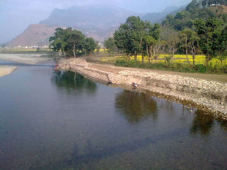
Syangja District
| Syangja District | |
| Area | 1,164 km² |
| Population • Density (2001) | 317,320 • /km² |
| Time zone | NPTUTC+5:45) ( |
| Established | |
| Main language(s) | |
| Website | [1] |
Syangja District, a part of Gandaki Zone, is one of the seventy-five districts of Nepal, a landlocked country of South Asia. The district, with Syangja as its district headquarters, covers an area of 1,164km² and has a population (2001) of 317,320.
Syangja in 1994 under the auspices of the South Asia Poverty Alleviation Programme (SAPAP) of the UNDP, received million of dollars of international investment and has become a model for national development. Syangja's model has proved so successful that the Government of Nepal joined forces with the SAPAP to extend the project to other districts and make it a model for national development. It has been initiated or implemented in at least 200 Village Development Councils (VDCs) of 45 districts of Nepal.
The other main feature of this district is the Siddhartha Highway named after Gautam Buddha. The highway crosses this district in the east to Sarketari and in the west to the border Palpa district, Lumbini Zone.
Many different ethnicities of people live in this district. The major groups consists of Brahmin, Kshatriya, Gurung, Magar and others. The people are famous for their unique identity. Brahmin and chetri (Kshatriya) are renowned by their representation in the governmental jobs and Indian army respectively. GurungsGurkhas and Military of India. Wild leopards roam free in less developed areas. and Magars are famous because of their involvement in British Army
The places of Syangja district that keeps their name in history are Sataoun chandi, Manakamana, Bhirkot durbar, Jaisidanda etc. Jaisidanda is famous for its hold in the politics of Syangja District for a long time.
Waling is a municipality in western Syangja. It is a longitudinal valley along the beautiful Adhikhola river.
Syangja District, a famous district in Nepalese Bureaucracy, has producing intelligent bureaucrats of the country. Many N G Os are working in syangja. Suryodaya Club, Ask , AACDC, CDRC, Nrids are local ngos are working different sector around syangja.
Village Development Committees (VDC's)
- Almadevi
- Arjun Chaupari
- Aruchaur
- Arukharka
- Bagefatake
- Bahakot
- Banethok Deurali
- Bhatkhola
- Bichari Chautara
- Birgha Archale
- Biruwa Archale
- Chandi Bhanjyang
- Chandikalika
- Chapakot
- Chhangchhangdi
- Chilaunebas
- Chimnebas
- Chisapani
- Chitre Bhanjyang
- Darsing Dahathum
- Dhanubase
- Dhapuk Simal Bhanjyang
- Eladi
- Faparthum
- Fedikhola
- Ganeshpur
- Jagat Bhanjyang
- Jagatradevi
- Kalikakot
- Karendada
- Kaulmabarahachaur
- Keware Bhanjyang
- Khilung Deurali
- Kichnas
- Kuwakot
- Kyakami
- Majhakot Sivalaya
- Malengkot
- Manakamana
- Nibuwakharka
- Oraste
- Pakbadi
- Panchamul
- Pauwegaude
- Pekhuwa Baghakhor
- Pelakot
- Pelkachaur
- Pidikhola
- Rangvang
- Rapakot
- Ratnapur
- Sakhar
- Sataudarau
- Satupasal
- Sekham
- Setidobhan
- Shreekrishna Gandaki
- Sirsekot
- Sorek
- Syangja Patulibazar
- Taksar
- Thuladihi
- Thumpokhara
- Tindobate
- Tulsibhanjyang
- Waling
- Wangsing Deurali
- Yaladi
Syangja district has two municipalities: Waling municipality and Putali Bazar municipality
.jpg)

.jpg)
